History ARCHIVE
North Thoresby in the early 20th Century
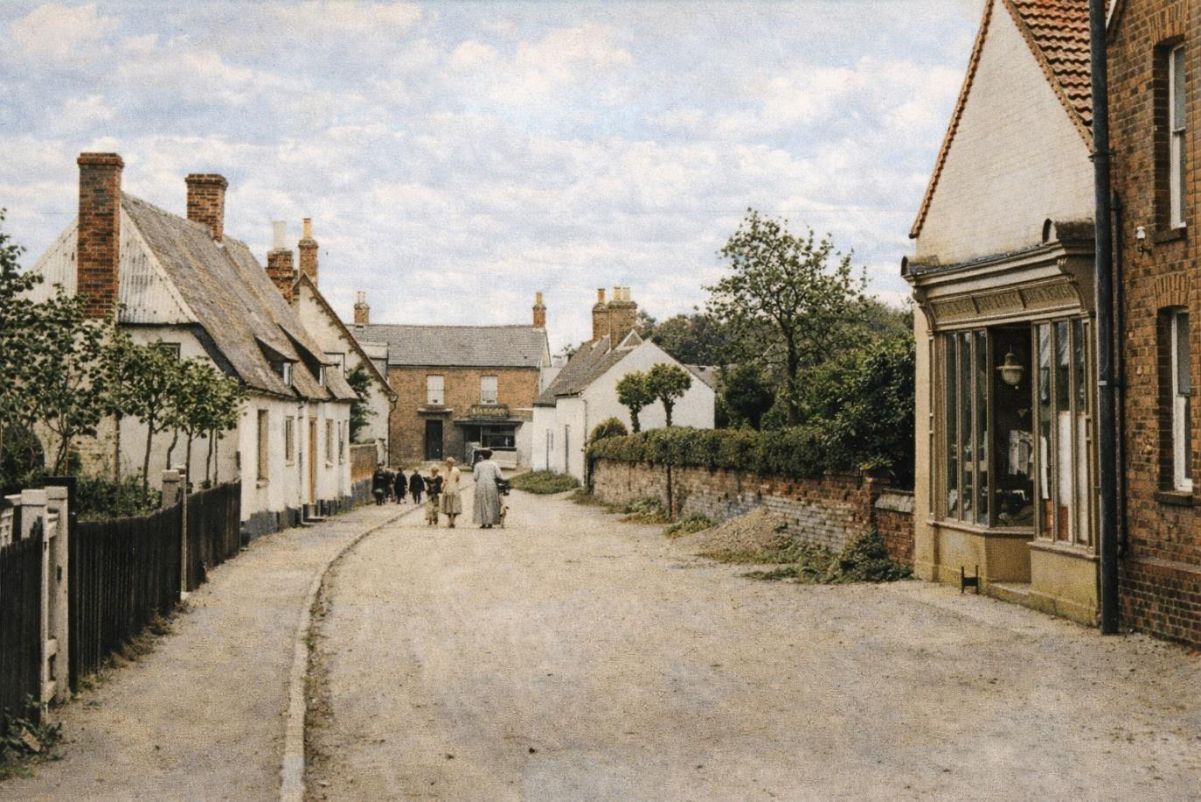
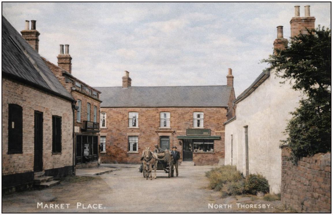
Looking into the Square from the west.
The Square
The Square most probably get its name from once being the village market place, perhaps centuries ago.
It is at the centre of a Conservation Area - a recognition of the historical significance of the buildings at the centre of what was a thriving agricultural community, many which survive from the 19th and early 20th centuries.
The road ended in a T-junction until 1926.
To the right, Post Office and ‘Public Hall’ which had various uses, including as a dance hall.
The two cottages on the left were destroyed in the bomber crash of 1943.
‘The Thatch’, far left, was a farmhouse until 2006, and dates from 1683, is of ‘mud and stud’ construction and a Grade 2* listed building.
Looking into the Square from the west.
The Thatch and the new Road layout
In the early 20th century photograph below the building has a corrugated or asbestos roof which it retained until the 1970s.
When the roof was removed, a fire burst out as the smouldering thatch below was exposed.
The building opposite was destroyed in 1926 and a new road structure put in place – see the 1930s photo opposite.
The Primitive Methodist Chapel and view West
Built in 1915, the ‘Prim’ Methodist Chapel dominated the west end of the Square until it was destroyed by the bomber crash in October 1943. What was the post office for many years can be seen along with the large building, at one time the dance hall and later a workshop. The Foundry chimney appears behind.
Robert’s Stores and view south
The 1841 census speaks of ‘Mr Bond’s shop at a turn which takes you to the Granby Inn’. In 1898 John Henry Roberts bought the shop and it traded under the Roberts’ name until 2000. Bakery Cottage, down Church Lane, was once the bakehouse for the shop. The shop has been ‘bolted on’ to the front of former farm buildings.
The photograph below shows the new shops in the 1840s to the left and the cottage on the right which was destroyed in 1926 to allow a new road.
New shops built in the 1840s
Whites Directory of 1852 noted that the village had grown and improved since the enclosure of the commons and open fields, and boasted some new shops. These were the row built opposite Roberts. From the 1840s until the 1990s, this area served as part of the village’s shopping centre. Later businesses included a blacksmiths, Spar shop, and Bell’s Bakers. Storr’s Cottage, was once home to the butcher William Storr, and Silversides, the former butcher’s shop with a small abattoir.
South of the Square
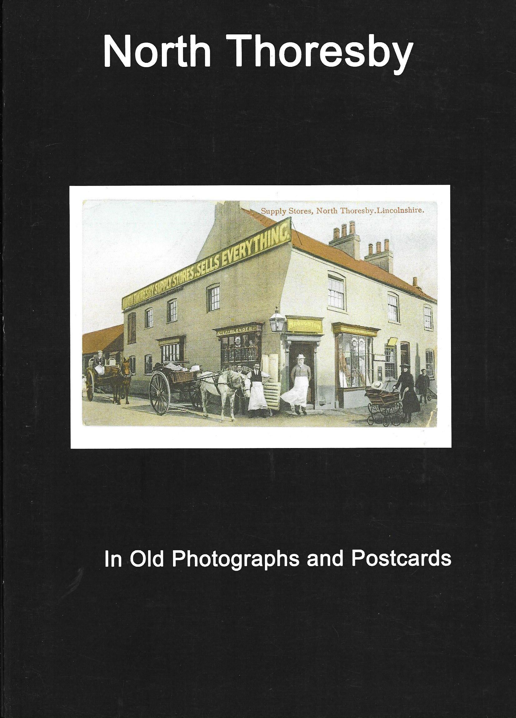
Broughton’s Supply Stores ‘sold everything’ and served the village and area from the turn of the 20th century to the early 1950s.
The view from the south completes the picture of the centre of the village in the inter-war years. Some of the buildings are still here. Dickinson’s butchers occupied a building where Homecare is located in 2026.
Parish Records
1. baptisms, marriages and burials 1552-1587
21MB PDF
2. Baptisms, Marriages, Deaths 1587-1662
35MB PDF
3. Baptisms,Burials 1726-1812, Marriages 1726-1748
110MB PDF
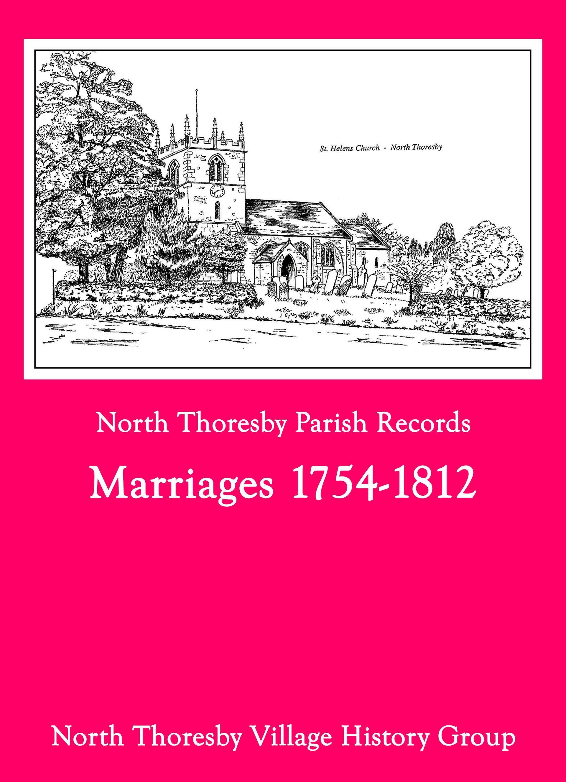
4. Marriages 1754-1812
21MB PDF